Hi ,
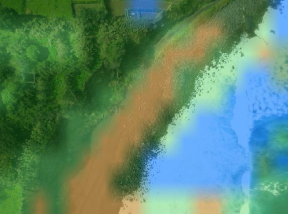
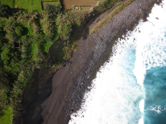
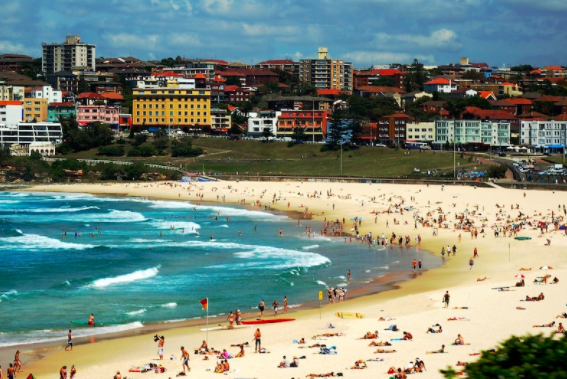
I basically want to seperate and highlight various landscapes and objects in an aerial view of an area. I came across semantic segmentation(segnet) and Unet. I initially tried jetson.utils and jetson.inference but i dont think it has a lot of options for different landscapes and objects. I also want to seperately take the labels and convert them into json format(also one of my requirement)
[
{
“label”: “water”,
“probability": 6.999387
},
{
“label”: “sand”,
“probability": 6.996159
},
{
“label”: “people",
“probability": 6.97412
},
{
“label”: “boat",
“probability": 6.002275
}
]
I am looking out for more resources ,which can help me with this… links,resources etc.,
 !
!
here is one example with jetson utils and inference(segnet)